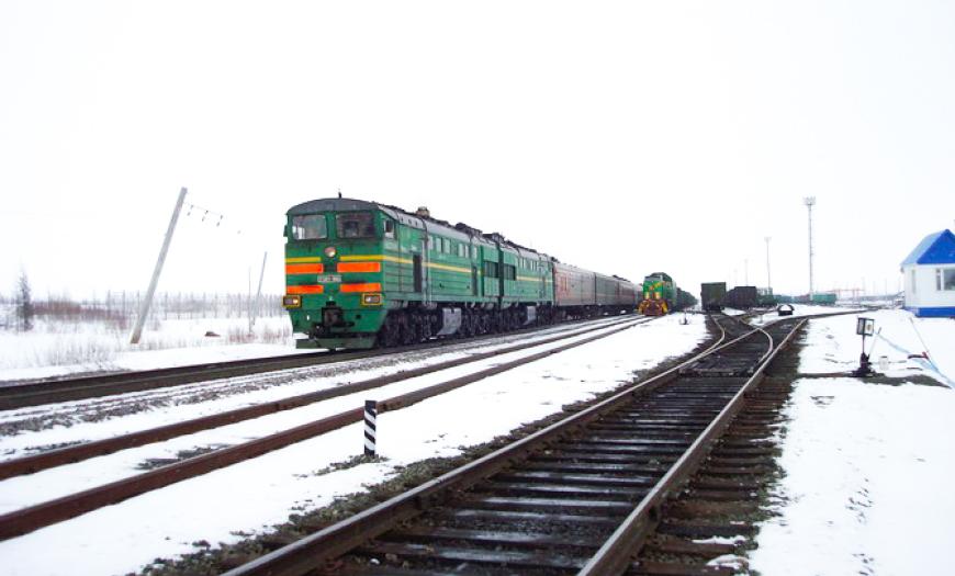
In the 1980s, Lengiprotrans developed a project for the Obskaya — Bovanenkovo line, the northernmost railway in the world. The route starts from the Obskaya station, which is part of the Transpolar highway, and goes to the North of the Yamal Peninsula.
The construction of the route was associated with the discovery of gas fields on the Yamal Peninsula, the largest of which are Bovanenkovskoye and Kharasaveyskoye. Every year it was necessary to import 5–7 million tons of materials and equipment for the development of fields, the construction of gas pipelines and gas compressor stations. In the opposite direction, it was planned to export 2 million tons of gas condensate. Of all types of transport, the railway was the most profitable, cargo-intensive and uninterrupted option.
The project was unique in terms of complexity and scope of design and survey work. In this regard, in parallel with the design, an extensive research program was carried out, the results of which were immediately implemented at the construction site.
Due to the most difficult geocryological and hydrological conditions of the Far North, there were practically no conditions for the construction of the roadbed. For this, one-stage and two-stage technologies for erecting the subgrade were developed. According to the results of the experiments, preference was given to a two-stage technology, in which during the summer season the soil taken from the quarries and laid in piles was dried.
Due to the presence of saline soils in the north of Yamal, the bearing capacity of which is very low even at subzero temperatures, the traditional construction of bridges was unacceptable. In this regard, a new direction has been developed, based on the use of widened support pads. Self-cooling thermo-supports have also been developed to ensure the reliability of the subgrade.
Environmental considerations have been taken seriously in the design. Scientists from more than 50 organizations were involved in the environmental justification of the construction.
During the survey, the most modern technologies of that time were used, for example, electronic-optical instruments — light range finders and tacheometers. Aerial photography, including thermal infrared aerial photography, was widely used to obtain additional information on the permafrost-engineering-geological conditions of the area. At this facility, for the first time at the institute, cosmogeological technologies were applied.
Transport development contributed to the development of the economy of the Yamalo-Nenets Autonomous Region. Within the framework of the project, a program of "compensatory construction" was implemented, which provides for the construction of housing and social facilities in remote northern villages.
With the onset of the economic crisis in the late 1980s, the planned commissioning dates for the Bovanenkovo and Kharasaveyskoye fields began to be postponed. At the same time, the pace of construction of the Obskaya — Bovanenkovo line slowed down. By the early 2000s, the line was laid to the Khralov junction (km 267), named in memory of the Chief engineer of the Lengiprotrans Institute A.Ya. Khralov, who devoted a significant part of his life to the transport development of the North of Western Siberia. Completion of the road was carried out in 2004–2010.
Design of the Obskaya — Bovanenkovo — Karskaya railway line
Author's department:
Project Status:
Northernmost railway line


