Hydro-meteorological site surveys for construction and transport infrastructure, industrial and civil purpose structures provide for comprehensive investigations of hydro-meteorological conditions of the construction area (zone, site, section, corridor), and forecasting of possible changes in those conditions caused by the project, which is necessary to produce justified design solutions.
Hydro-meteorological site surveys are conducted as part of comprehensive site surveys and separately – on the basis of the terms of reference provided by the client.
Purpose:
- design of railways and roads;
- finding surface water for water supply;
- discharge of waste water;
- construction of overhead power line routes;
- construction of main pipeline routes;
- hydro-meteorological feasibility studies for construction of structures, and selection of project sites.
Hydro-meteorological site surveys involve:
- Collection, analysis and summarizing of hydro-meteorological and cartographic information on the area of interest;
- Reconnaissance investigation of the survey area;
- Observation of the hydrological regime of water bodies and climate;
individual investigation thereof; - Investigation of hazardous hydro-meteorological processes and phenomena;
- Office processing of materials, and determining their design hydrological and (or) meteorological characteristics;
- Preparation of a technical report.
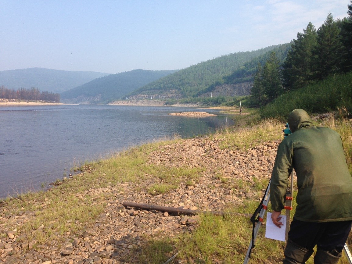
Hydro-meteorological site surveys
We use instruments such as:
- Trimble and Topcon satellite GPS-receivers;
- Sokkia electronic tachometers of various modifications;
- Sokkia levels of various modifications;
- SonarLite echometer;
- flow meters.
Office processing of field data is conducted using the company’s and third party modern software.