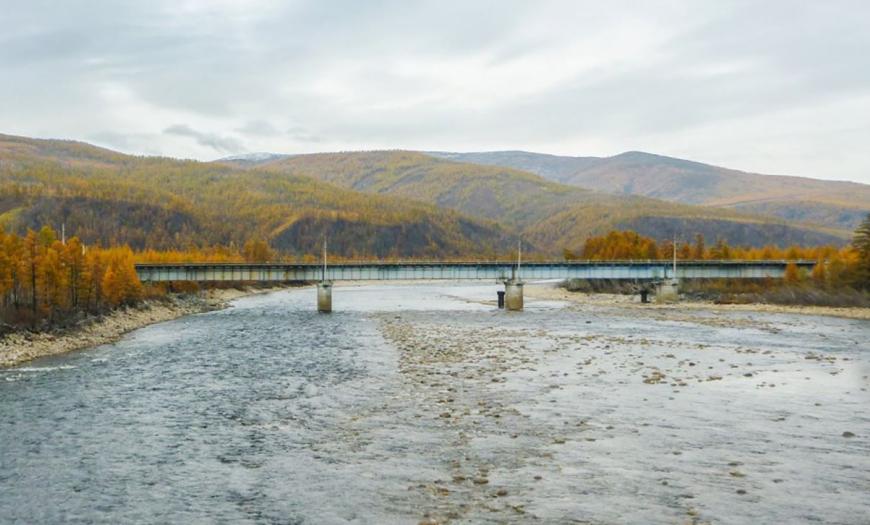
In 1960-1970s Lengiprotrans designed a road bridge across the Khani River as part of the construction of the Baikal-Amur Mainline (BAM). The structure is located at 447 km of the BAM. Along the Khani river valley, the BAM route leaves the Charskaya depression to the east to the Olekma river.
Khani is a left tributary of the Olekma in the middle reaches. The river valley is asymmetric in shape: the average width is 0.7–1 km, but in some places it narrows to 50–100 m. The upper reaches of the river originate on the slopes of the Udokan ridge and are of a trough character. Primary steep slopes of 30–50 °, towering 100–300 m above the valley floor, are strongly dissected by transverse deeply incised ravines and gorges. Ice is well developed in the region.
Difficult climatic, geological and geocryological conditions, the presence of high seismicity required the search for non-standard solutions. The construction of a bridge crossing with columnar supports on drilling piles-pillars, frozen in permafrost, was developed.
The bridge was designed according to the 3x63 m scheme and the length of 200 m. Spans are steel-reinforced concrete with a ride on top, split. Intermediate supports are made of monolithic concrete and reinforced concrete with foundations on bored pillars with a diameter of 1 m. Drill-off abutments on drill pillars with a diameter of 1 m.
Author's department:
Project Status:


