Port of Klaipeda is the northernmost ice-free port on the Eastern coast of the Baltic Sea in Lithuania. It was a major transport center in the Soviet Union.
In the USSR, the exchange of goods with the countries of the Council for Mutual Economic Assistance (CMEA) constantly increased. In the 1980s, calculations showed that it was economically more profitable to redirect part of the goods going to the GDR through the port - six times cheaper than on the railways of Ukraine, Belarus, the Baltic republics and Poland. It was assumed that the port will take over more than 5 million tons of transit traffic to the GDR. In this regard, it was planned to build a ferry crossing. It was included in the "Main directions of economic and social development of the USSR for 1986 - 1990 and for the period up to 2000".
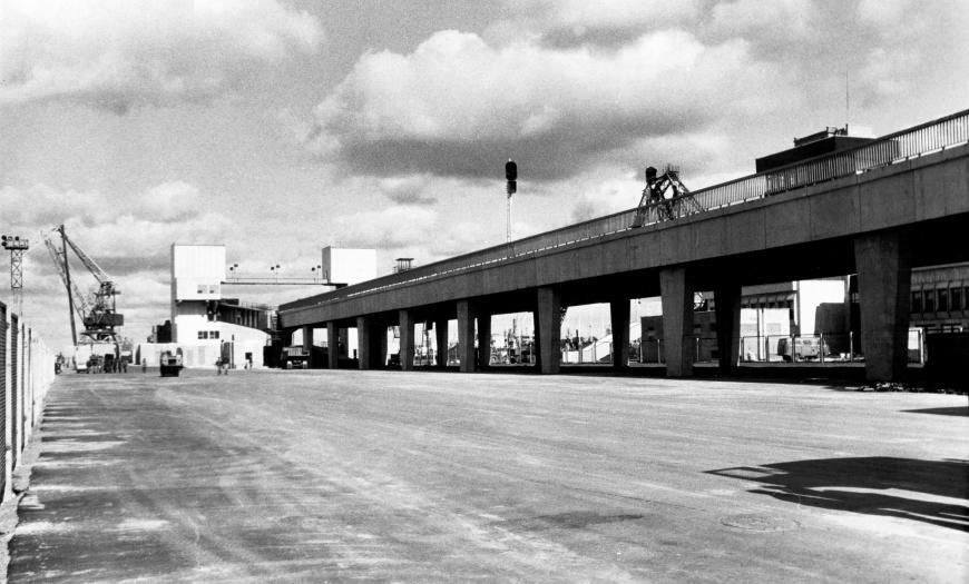
In 1984-1985 "Lengiprotrans" developed a unique route scheme for the port, which significantly accelerates the loading and unloading of ferries with direct rolling and rolling of cars on two tiers of bridges with parallel operation of two locomotives. This provided a 2-2.5-fold reduction in the ferry processing time. The volume of track laying work in Klaipeda was 50.4 km.
In the German port of Mukran, where ships arrived from Klaipeda, a similar set of devices and a point for rearrangement of wheel sets to a gauge of 1435 mm were envisaged.
To ensure the planned cargo turnover, the construction of 5 double-deck ferries (each for 102 carriages), the construction of two-tiered flyover approaches with transition bridges, railway tracks to the ferry berth, sorting and ferry parks and approaches to the port have been developed.
Port of Klaipeda
Project Status:
Large oil port in the Baltic Sea


